|
NeilsYard
Coventry |
226 of 235
Tue 4th Oct 2022 9:47am
Not that I'm aware of, Helen. They've been going on about 'opening up' the river behind the Burges for ages! I want to get in to town to try to take a look at that Butcher Row excavation for the 'new' Cross, if still open, so will take a wander down and report back. Funnily enough I was talking to my mum's partner last weekend and he was saying he remembers walking up Fleet Street and over where Ram Bridge was post-war. I need to question him more about how much water there was, etc. |
| Local History and Heritage - River Sherbourne | |
|
NeilsYard
Coventry |
227 of 235
Fri 13th Jan 2023 9:28am
There's been a more recent culvert exploration on the 28dayslater website, who are 'urban explorers'. Interesting to see.
|
| Local History and Heritage - River Sherbourne | |
|
Helen F
Warrington |
228 of 235
Fri 13th Jan 2023 10:42am
Thanks Neil. These treks are interesting, especially when they are parts we might recognise.
Am I right in thinking they start somewhere near Gosford Street? The detour they take could be anywhere but might be the Springfield Brook or the outflow from Swanswell? Back to the main they head through the Burges, go through West Orchard and end up somewhere in the precinct?
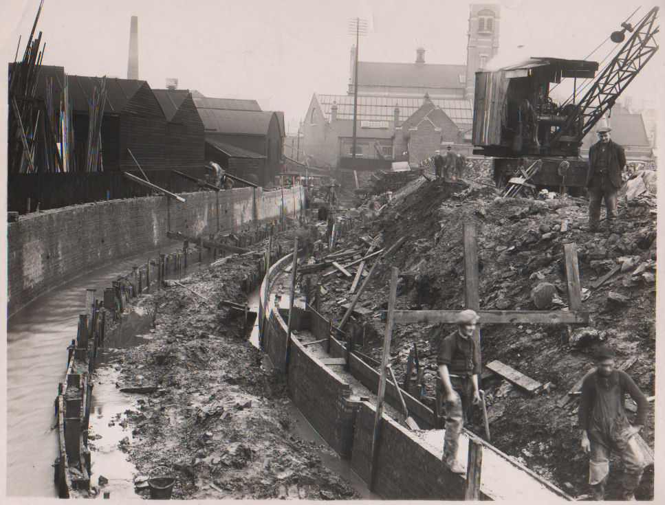
Sections of it resemble this picture posted by Prof from Keith Draper.

|
| Local History and Heritage - River Sherbourne | |
|
PhiliPamInCoventry
Holbrooks Thread starter
|
229 of 235
Mon 20th Feb 2023 8:34pm
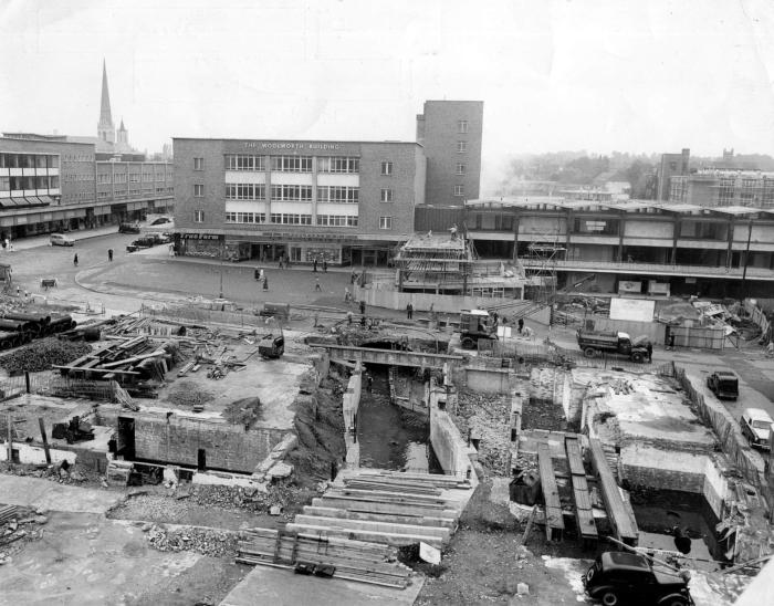
Is this a clearer image?
If it's been posted before, please delete.
Thank you.
 |
| Local History and Heritage - River Sherbourne | |
|
NeilsYard
Coventry |
230 of 235
Wed 1st May 2024 2:32pm
The 3D River Scan looks great in this clip on YT. |
| Local History and Heritage - River Sherbourne | |
|
Helen F
Warrington |
231 of 235
Wed 1st May 2024 3:47pm
Terrific Neil. I had to watch it a few times and play it back at slowest speed to appreciate the finer points but |
| Local History and Heritage - River Sherbourne | |
|
NeilsYard
Coventry |
232 of 235
Wed 1st May 2024 5:17pm
It's part of the show that was running at the LTB - I'll try to get the full version. |
| Local History and Heritage - River Sherbourne | |
|
PhiliPamInCoventry
Holbrooks Thread starter
|
233 of 235
Sat 4th May 2024 10:27am
Helloo,
At the time of starting this thread, in 2012 I was involved with activity at the Charterhouse, the Charterhouse being used as a local authority education annex. A group representing the interests of those who wanted to see the river opened up & made a visible aspect of Coventry, met there on a regular basis.
That's what conjured my interest in the river. My historical roots were founded in the districts of the Sowe, living in Wyken & Holbrooks. The ridge of high ground roughly marked by the line of the Tamworth Rd, is what divides the two rivers. |
| Local History and Heritage - River Sherbourne | |
|
Helen F
Warrington |
234 of 235
Sat 4th May 2024 11:59am
From that video you can see how complicated opening up the river is. Careful comparison of the maps also indicates that the route is not true to the original river. It was channelled to aid culverting. Those channels are often bald concrete and wouldn't look very river like if exposed. Talking of the original route, it's complicated by the hundreds of years it was repeatedly changed. The areas where it ran even before culverting weren't all the lowest points in the landscape and parts of it were suspiciously straight. The river meandered a lot coming in and leaving the city and while it still changed directions going through the centre, when the city flooded it demonstrated where the water really wanted to go. The mill ponds might well have been created by using natural loops in the original river. |
| Local History and Heritage - River Sherbourne | |
|
PhiliPamInCoventry
Holbrooks Thread starter
|
235 of 235
Mon 1st Jul 2024 7:22pm
Hello,
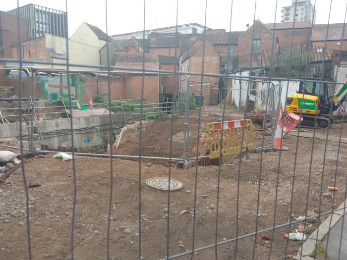
Our beautiful river, sadly no sun.

|
| Local History and Heritage - River Sherbourne | |
Website & counter by Rob Orland © 2024
Load time: 535ms