DeanSpencer
Lutterworth |
1 of 3
Sat 20th Oct 2012 7:55pm
There was an old post on this, however, does anyone know where the source is of the Brookstray that runs through Eastern Green/Mount Nod and where it joins up to or ends up - not to be confused with Pickford Brook that is, as I understand it, a different brook running to the north. |
Local History and Heritage - The Brookstray | |
PhiliPamInCoventry
Holbrooks |
2 of 3
Sun 21st Oct 2012 11:32am
Hello Dean, Hi all
The general water courses in Coventry are divided by a ridge of high ground marked by the old Tamworth Rd heading out through Keresley & Corley. The Holbrooks side drains eventually into the Sowe, whilst the Coundon side drains into the Sherbourne. Ok.
They all originate from a notth to south ridge of higher ground that separates Birmingham from Coventry. The section of the M6 with a crawler lane shows this ridge up well. The brooks that you are asking about start in fields not far from Berkswell. I have traced two of them when I led a youth group on local river source projects in the seventies. That area is full of small ponds all of which contribute. Water courses are not always obvious, as water can drain into underground crevices, only to re-emerge as springs elswhere. Hope this helps. Please enter "River Sherbourne" into the search bar on flickr - link - where you will see many pics of the Sherbourne itself. I don't know what the access is like to the fields around Berkswell nowadays, but on a nice day donned with wellies, we could give it a try, , hey!
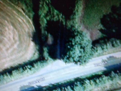
This is a pic off google maps showing where the brook meets civilisation where Broad Lane becomes Coventry Rd.
|
Local History and Heritage - The Brookstray | |
DeanSpencer
Lutterworth Thread starter
|
3 of 3
Mon 22nd Oct 2012 8:04pm
Philipincoventry,
Many thanks for the information, perhaps food for thought for a springtime paddle!!
Thanks again.
Dean |
Local History and Heritage - The Brookstray |
Website & counter by Rob Orland © 2024
Load time: 383ms